Sunday Ride Options
MAIN: 43 miles, 1956 vertical feet, Sunday, April 27th, Main Ride
SHORTER OPTION: 30.5 miles; 1205 vertical feet, Sunday, April 27th, Short Ride
LONGER OPTION: 52.7 miles; 2498 vertical feet, Sunday, April 27th, Long Ride
(Download RideWithGPS routes from links above)
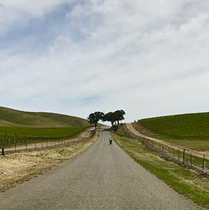
We’ve named today’s ride “Estrella” as our first rest stop will be near this creek. This morning we will ride east and north of Paso and into the farmland and ranches that dot this terrain. Hopefully the hills will still be green and the wildflowers plentiful. Regardless, the vistas will be magnificent.
To avoid the busy intersection near our hotel, we are first going to ride down Riverside Avenue to 13th Street, go left and cross over Hwy 101 and at about mile 1.5, we will turn left onto North River Road and then continue onto Union Road until we reach Hwy 46 at mile 11.4. We will then ride on the shoulder of busy Hwy 46 for about 1.5 miles, exit at Whitley Gardens Drive and loop back under Hwy 46 and make our way to Estrella Road. We then stay on Estrella Rd until we reach the rest stop at about mile 20 at the intersection of Estrella and Jardine Road.
Shawn will find a safe place near the intersection of Estrella Rd and Jardine Rd to set up our rest stop. For those of you doing the short option (30.5 miles) you will start heading back to Paso via Jardine and Tower Road around the airport and along Buena Vista Drive. For those of you doing the main route (43 miles) you will start riding up Hog Canyon Rd but turn left at Von Dollen Rd., go right on Ranchita Canyon Rd. and take that to Cross Canyon Road. And for those of you doing the long option (52.7 miles), you will continue from the rest stop up Hog Canyon Road to the intersection with Ranchita Canyon Road before starting back west and to town. If Shawn has time he will set up a second SAG stop at the intersection of Ranchita Canyon Road and Cross Canyon Road (mile 27.7 on main route and mile 37.5 on the long route). Take extra water and sunscreen today and top off your water whenever you can as there is little shade when riding east of Paso.
And for those of you on the main route or the long route that want to enjoy a cold one toward the end of your ride, we have started a tradition of stopping at the Elkhorn Bar in the town of San Miguel. The Elkhorn Bar is reputed to be the oldest continuously operated saloon in California. While the saloon is slightly off our route, you won’t have any trouble finding it. It is on Mission St just past 13th St. Look for some bicycles parked out in front.
Here is a RidewithGPS overlay option of today’s routes – check the box for “Show all on map” to see all three routes together.


