
Friday Ride Options
MAIN ROUTE: 41.4 miles, 2754 vertical ft, Friday May 1st, Main Ride
SHORTER ROUTE: 25 miles, 1891 vertical ft, Friday, May 1st, Short Ride
LONGER ROUTE: 55.4 miles, 4821 vertical ft, Friday May 1st, Longer Ride
(Download RideWithGPS route from links above)
Today’s ride is called “Santa Margarita” because that is the town where we will drive to for the start of today’s routes.
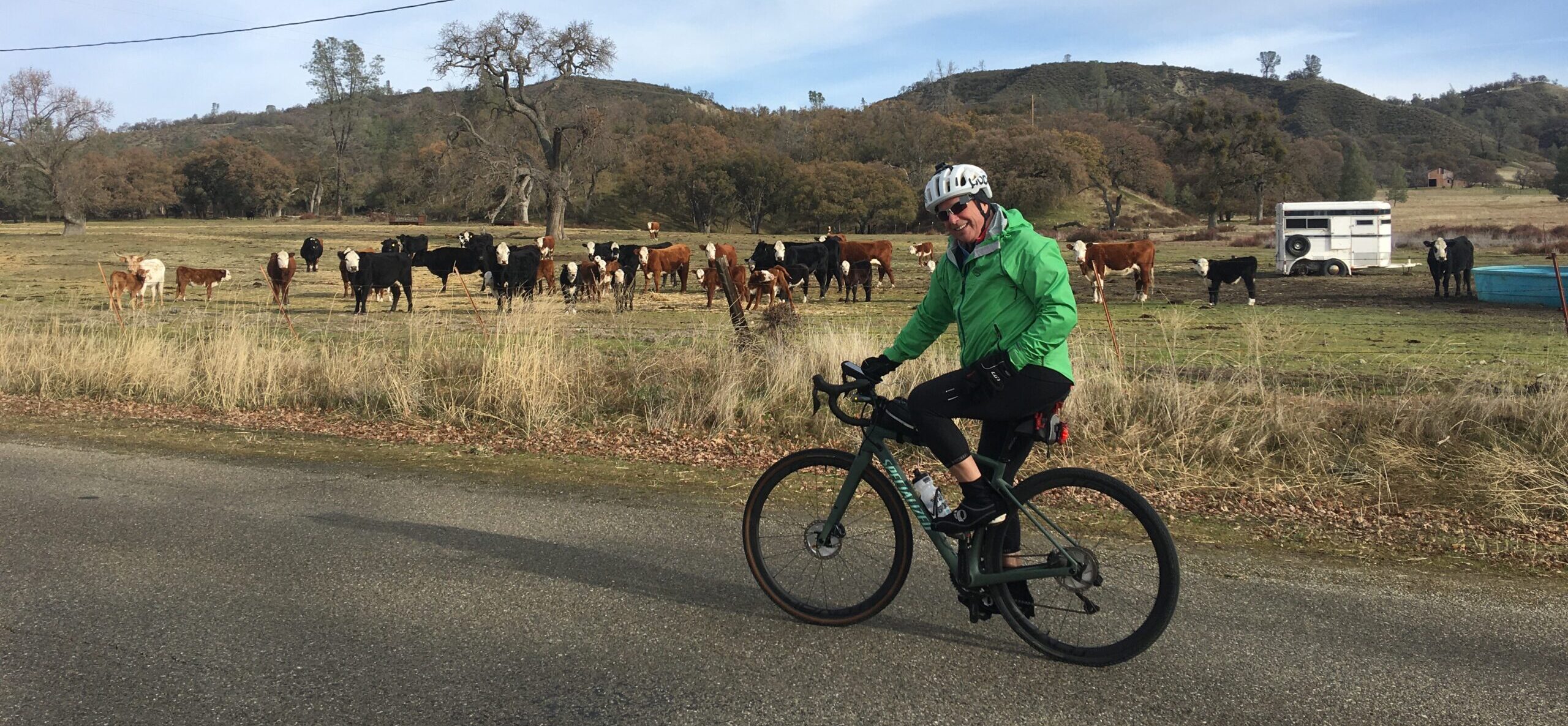
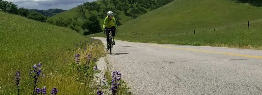
Today we will leave the Adelaide Inn by 8:30 am and drive to the town of Santa Margarita, about a 20-25 minute drive south on Highway 101. We will gather on the main street in town, the El Camino Real, near the post office end of the street for some last words before departing on our rides at about 9:00am. Today’s picturesque rides take us through the countryside east and south of Paso Robles. Many of you know this ride as the Pozo loop because we come back on West Pozo Road as we return by Santa Margarita Lake. We enjoy this route both for its beauty and its tranquility.
All three routes, the short, main and long, start out together as we take the El Camino Real east and turn right on Hwy 58/Blue Star Memorial Hwy/Estrada Avenue, turning left on J Street (which eventually turns into the West Pozo Road we will return home on). At about mile 1.7 we turn left to stay on Hwy 58 (Calf Canyon Hwy) and ride until mile 3.9 where all routes will turn right onto Parkhill Road. We ride by some small farms and residences until mile 12.7, where the routes diverge.
The short route (25 miles and 1891 ft of elevation) will turn right on scenic Las Pilitas Road and turn right again on West Pozo Road at mile 19.6 and returns to the starting point in Santa Margarita for brunch. The main route (41.4 miles and 2754 ft of elevation) and long route (55.4 and 4821 ft of elevation) will both continue on Parkhill Road to mile 20 and the intersection with Black Mountain Road and our first SAG stop. Shawn will set up the SAG at a convenient spot near this intersection. Those of us opting for the long route will climb to the top of Black Mountain (also Forest Route 29S02) and the F.A.A Radar station and the will gain almost 2,000 feet in 7 miles of climbing with some gradients in the 9%-10% range. You will be rewarded with some spectacular panoramic views from the top. The rest of us mere mortals will forego the climb and continue on Parkhill Road which changes into East Pozo Road just past Pozo Creek (mile 22.3). East Pozo changes into West Pozo just past Hi Mountain Road at mile 23.8. We continue on West Pozo Road until we reach Las Pilitas Road at mile 36.1 and our second SAG stop. From there all routes stay on West Pozo Road back to the town of Santa Margarita and some well-deserved lunch. Some of our favorite watering holes to grab some tasty food including The Porch (for those that arrive before 2:00 pm) and Ancient Peaks Winery.
Here is a RidewithGPS overlay option of today’s routes – check the box for “Show all on map” to see all three routes together.